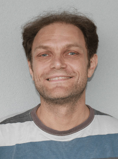
Vice-Chairman of the Board of Directors, Senior project scientist
The main experience of M. Santoro is in the development of applications of active microwave data. His research included processing, analyses and interpretation of space-borne data, modelling of interferometric responses of forests and development of classification algorithm for forests and urban areas. Currently he is very active in SAR interferometric data processing and the development of applications of single-pass as well as repeat-pass SAR interferometry for land-use classification, and the retrieval of geophysical and biophysical parameters over land (e.g. forestry, agricultural, and hydrological applications).